


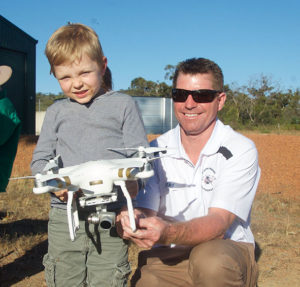
All eyes were on the sky as Ray Ewins from 3D Aerial imaging and photography WA launched a lightweight multirotor and demonstrated it’s aeronautical abilities. The kids amongst the crowd were perhaps the keenest – and indeed it will most likely be their generation to embrace this technology – and whilst Ray says anyone can learn to operate a drone it’s not exactly child’s play.
Ray has been operating remote controlled helicopters and drones for 26 years and suggests taking time to learn to fly your drone properly. “It takes about a week to fully get the hang of it,” he says, “It all depends on the dexterity of the operator and also their ability to gauge conditions.” In the past, the requirement to obtain an operators certificate from Civil Aviation Safety Authority (CASA) has been a deterrent for experimental users, and at a cost of approximately $2300 it’s no surprise few had the time or money. However a recent change in regulations means that small UAV’s will now be termed remotely piloted aircraft (RPA), and small RPA’s can now be used on private land for commercial purposes so long as the operator is not being paid for the work. Other restrictions include keeping the RPA in sight, away from other people, flying under 120 meters high and only during daylight hours. So should we be rushing out to buy one?
Whilst the fun factor can’t be denied, I suspect that few farmers can justify the purchase based on the on the capabilities to automate everyday jobs such as checking and mustering stock, however, there are some precision agricultural techniques that may be of use. Ray recommends utilising professional services to gather this sort of data – at least at first. Several visits throughout the cropping season from an operator such as Ray, with their own advanced equipment, can capture multispectral imagery with the use of NDVI (Normalized Difference Vegetation Index) cameras. NDVI is a simple metric which indicates the health of green vegetation, by comparing the reflected intensities of near infrared (NIR) and visible light. With proper interpretation, this imagery can be used to analyse crop viability and areas of weakness. At this point things get pretty technical and Ray explains that this is where his partnership with David Karr from Interspacial Systems comes in.
David also attended the drone display at Wannamal to explain how his business turns the aerial photography taken by drones into informative data. The cameras on drones are capable of producing several different types of imagery: conventional aerial photography, 3D imaging, thermal imaging and multispectral imaging (using the NDVI camera). Advanced Multispectral Photogrammetry is the process which takes these images and combines them with local data from other sources, such as the Bureau of Meteorology and turns it into useful information.
“We use cloud-based subscription software that combines the data and spits back knowledge for the farmer,” says David.
The technology exists for that data to connect with automated vehicles on the ground and respond to real time problems such as spraying a localised area of a crop which has been determined to be weed or pest infected. Whilst it does sound pretty pie in the sky right now, we must remember that 20 years ago GPS driven tractors seemed wacky and 100 years ago we were still pulling plows with horses!
If you are interested in finding out more, you can contact Ray from 3D Aerial imaging and photography WA on 0417 178 434.
To register your interest for another display, including the demonstration of the automated crop sprayer in 2017 contact Trish Murrell from the Chittering Chamber of Commerce on 0438 860 022.
A bird’s eye view of Wannamal lake from the handheld control panel. Costs for entry level drones start at $1699. Call Ray from 3D Aerial imaging and photography WA on 0417 178 434 or go to www.3daerial.com.au


