

Many readers will be aware that project development is underway for NorthLink WA – a new 37km link from the intersection of the
Reid and Tonkin Highways to Muchea, with associated grade separations of the Tonkin Highway at Benara Road, Morley Drive and
Collier Road.
This project is of major significance to our local communities, and each month, Main Roads will provide us with an update on design progress for NorthLink WA.
Community engagement
Community engagement is underway, with the team running information ‘drop in’ sessions at Ellenbrook, Muchea, Bullsbrook, Altone Park, Morley and Ballajura.
Hundreds of people came along to these sessions and took the opportunity to ask questions, register to receive project updates, and nominate for one of the three Community Reference Groups (CRGs) that have been established.
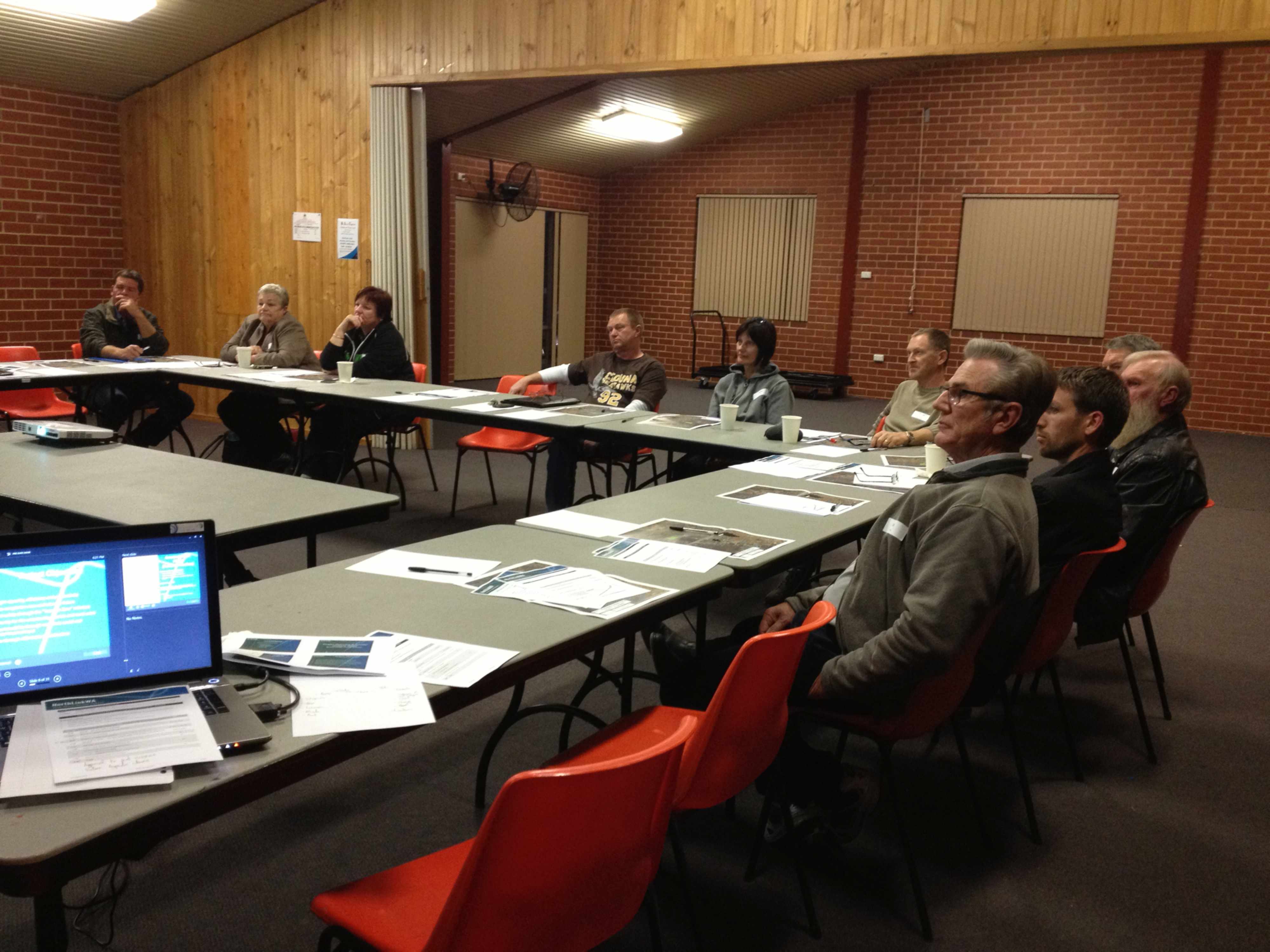
In late August, the three CRGs had their first meetings. Each CRG represents a different area – southern group (around Morley, Benara Road and Ballajura), central group (around Ellenbrook), and northern group (Bullsbrook to Muchea).
These first meetings of the CRGs included:
• an overview of the NorthLink WA projects and the planning work completed to date;
• an outline of the scope of the work and the timetable; and
• the purpose of the CRGs and the ways in which CRG members will be asked to contribute to the development process.
CRG members will be asked for input into the design concept, pedestrian and cycle access, noise mitigation, local area access, and landscaping and re-vegetation.
Key issues
Here’s a quick summary of the key issues that were raised by the Northern CRG members, and the project team’s response:
What will happen to the East/ West link between Muchea and Maryville?
CRG members advised that connections to the east and west of Muchea were an important issue for the local community. The project team undertook
to develop options that maintain such connections. The CRG will be asked for feedback on these options at future meetings.
How will Muchea residents head north?
To head north, Muchea residents will travel along Muchea South Road to Brand Highway.
What are the impacts on ground water and how they will be managed?
The project team is working with the Drainage Reference Group to prepare a drainage strategy for the full length of the corridor, including the P1 mound area. This will look at spill management measures to collect, capture and minimise impacts. Water monitoring and other geotechnical work such as drilling is already underway, together with a climate change strategy to allow for future changes.
One of the critical challenges is to raise the road to an appropriate level to allow for ground water drainage and other impacts. Material sourcing will be a key consideration as part of this.
What are the potential impacts for the community of sourcing local material from the Bullsbrook area?
The team is preparing a material sourcing strategy and prefers to source material locally where possible to minimise cost and haul length. Any impacts this may have on local communities will be discussed at future CRG meetings.
Is there a need for the road to be dual carriageway for the full length of the project?
Main Roads is planning for a two lane dual carriageway in the long term. What is built in the first stage is still to be decided and will depend upon a number of factors including how much funding is available. Main Roads is aware of widespread community support for a dual carriageway.
Will there be provision for public transport?
The design will allow for public transport to be constructed at a future date. As well as keeping the community informed, work has begun on geotechnical and environmental studies, including site surveys. This has involved liaising with landowners to allow project team members to access their property, and we would like to thank those landowners for their cooperation. Noise monitoring has begun at the southern end of the project, and will continue along
the length of the route. This monitoring will be used to develop a benchmark for noise impacts that will demonstrate the ‘before and after’ noise levels for the project.
What’s next?
By the end of the year, the project team will have:
• completed all initial site investigations;
• finalised the traffic analysis and modeling;
• developed the long term vision for this road network project; and
• held further reference group meetings.
In the new year, the project team will focus efforts on determining how much of the long term vision needs to be constructed now to service transport needs over the medium term in order to complete a final business case for funding approval.
In the meantime, any readers who have questions about the project, or who would like to register to receive project updates, should email info@northlinkwa.com.au or telephone 1800 642 795. Further information on the project is available at www.northlinkwa.com.au.


